
By signing in or creating an account, you agree with Associated Broadcasting Company's Terms & Conditions and Privacy Policy.


By signing in or creating an account, you agree with Associated Broadcasting Company's Terms & Conditions and Privacy Policy.
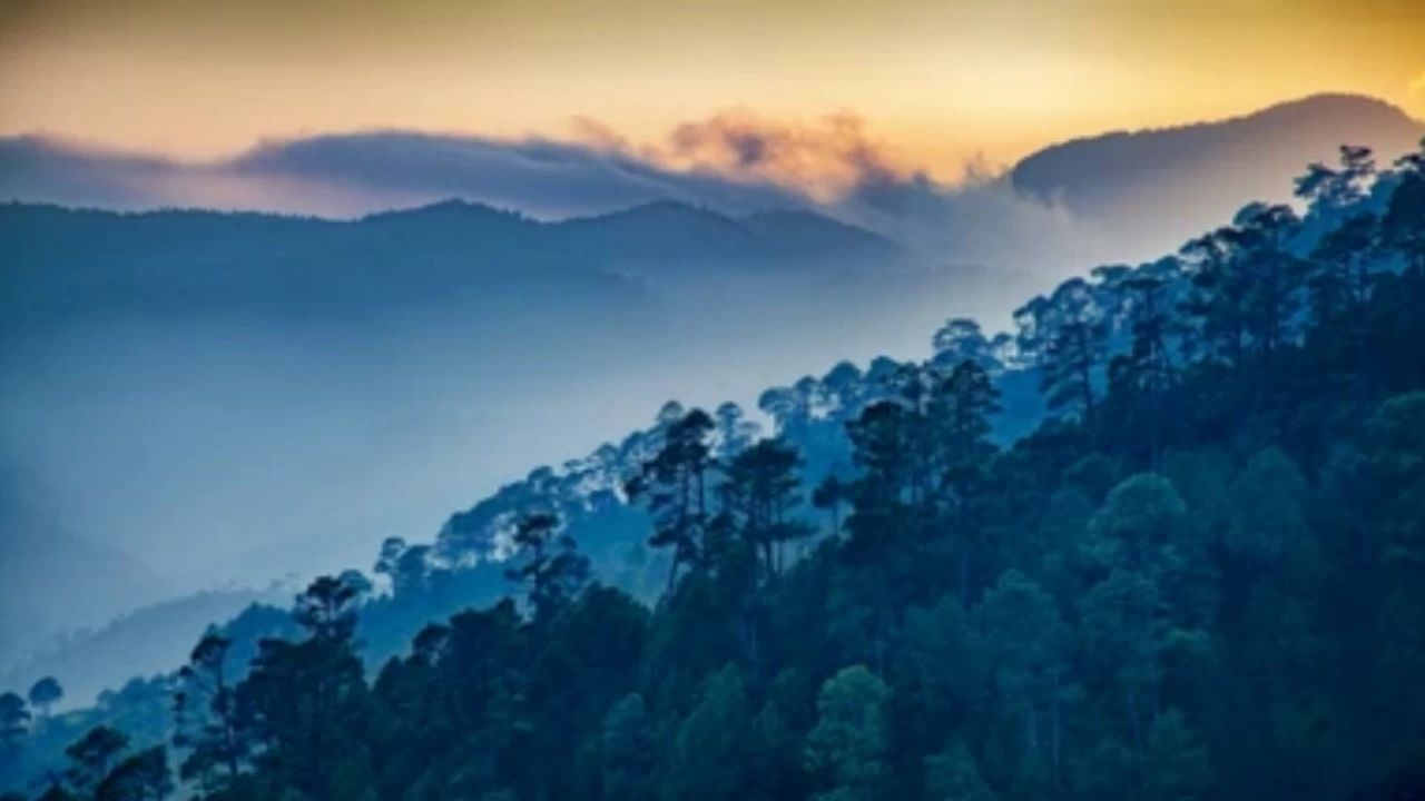
Dehradun: The Meteorological Centre has issued a forecast of snowfall and rain in several districts of Uttarakhand starting Friday. A western disturbance is expected to become active, bringing light rain to Chamoli, Uttarkashi, Rudraprayag, Pithoragarh, and Bageshwar, while snowfall is likely at altitudes above 3,500 meters.
The prediction comes as the state is already experiencing a sharp drop in minimum temperatures. Nights are becoming colder, and mornings and evenings are marked by biting winds. Despite bright sunshine during the day, residents are shivering due to the chill in the air.
Dehradun witnessed clear skies and sunshine on Friday
On Tuesday, Dehradun witnessed clear skies and sunshine, but cold winds made the weather feel harsh. Light fog was also visible in the plains, adding to the discomfort. The maximum temperature has remained close to normal, but the minimum temperature has dropped by 1–2°C, increasing the cold at night.
No weather change in coming two days
According to officials, no major change in weather is expected for the next two days, apart from the western disturbance forecast. However, the drop in minimum temperature is likely to continue, making nights even colder.
Snowfall in higher regions could affect travel and daily life
The Meteorological Center has warned that snowfall in higher regions could affect travel and daily life. Farmers are also keeping a close watch, as sudden changes in temperature and moisture can impact crops.
Residents are advised to prepare for harsher conditions
Residents in hilly districts like Chamoli and Uttarkashi are advised to prepare for harsher conditions, while those in plains should expect foggy mornings and evenings. The cold wave is expected to intensify further as winter progresses.
With the western disturbance approaching, Uttarakhand is set to experience both rainfall in mid-altitude districts and snowfall in high-altitude regions, marking the arrival of peak winter conditions.

