
Sign In
By signing in or creating an account, you agree with Associated Broadcasting Company's Terms & Conditions and Privacy Policy.
By signing in or creating an account, you agree with Associated Broadcasting Company's Terms & Conditions and Privacy Policy.
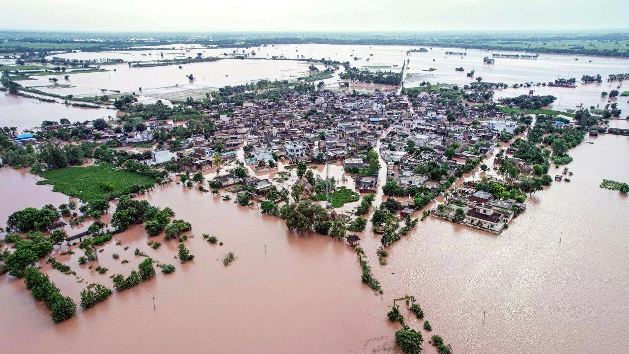


New Delhi: North India has been battered by heavy rains for the past 2 weeks. The region experienced its wettest fortnight in the last 14 years, showed data available with the India Meteorological Department (IMD). Between August 22 and September 4, the region logged three times the normal rainfall, showed the weather department data.
While the Vaishno Devi route in Jammu and Kashmir was hit by a massive cloudburst, Punjab is reeling under floods due to the rains. A similar situation has been unfolding in Uttarakhand and Himachal Pradesh, which have been hit by several landslides. In Delhi, the Yamuna river is flowing almost near the danger mark and water of the river has already entered some low-lying areas.


In the 14 day-period, North India received 205.3 mm rains, instead of the normal 73.1mm which is usually recorded during this time of the year, said a report in the Times of India. This is 35 % of the entire quota of rains which the region received in 4-months of the monsoon season. This is North India's wettest monsoon in the past 37 years.
Since June 1, north India, meteorologically known as northwest India, received 691.7mm of rain. This is 37 per cent higher than the normal rains the region receives during this period. By September 30, the total rainfall in the region is likely to cross 750mm, which will put the rainfall at the second highest that the area has received in the past 50 years. This is higher than the 737 mm rainfall recorded here in 1994, and just less than the 813.55 mm the region received in 1988.
Experts explain the high rainfall in the region by saying that during this time there were spells of 2 back-to-back system interactions, which is the 'western disturbance' blowing close to the Mediterranean Sea and the monsoon winds in the east. Such interactions usually leash heavy rainfall and cloudburst, which is what North India has been witnessing.